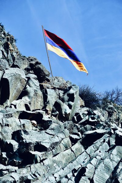
Nepal Earthquakes Affect on Mt. Everest
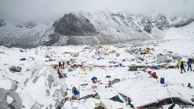
A 7.8 magnitude earthquake struck Nepal around noon less than 50 miles northwest of the capital, Kathmandu on April 25, 2015. This earthquake goes down as having the highest death toll since 1932 leaving 7000 dead with an expected rise. On Everest, at least 19 people are believed to be dead with over 60 injured. The day of the avalanche will now go down as the deadliest day in Everest history.
Everest climbers faced the deadly avalanche at base camp, an area they all believed to be sheltered from avalanches. However, the earthquake created a new route for the avalanche to flow through.
Climber Joe Raftis recalls his scary encounter with the avalanche, “Honest to God, when that earthquake came at me, I didn’t know if I would live or die.” Everest expeditioners were scared out of their minds wondering what would happen. Almost 150 mountaineers were airlifted to safety off the mountain from base camp 1.
Climbers who were stranded at Camp 2 on Everest seemed to have no escape because their route down the mountain had been plowed over by the avalanche. Like base 1, they were also evacuated by emergency flights. The airlifts could take only one to two people at a time due to aircraft function at high altitude.
Climbers who were not able to be air-rescued from the mountain are now waiting for a path to clear up so they can head back down to safety. The daring mountaineers who don’t want to give up on their dream of summiting Everest will continue up the mountain despite the dire circumstances. They are waiting on permission from the government to continue up the mountain rather than down.
Because of Everest’s proximity to the epicenter of the earthquake, scientists have begun to suggest that the height of Everest has changed. Kenneth Hudnut from National Geographic explained testing that, “suggest that Mount Everest and it’s surrounding area may have shifted by a few centimeters both vertically and horizontally”. Other sources report Everest to be a whole inch shorter. The weather channel reports, “These findings were discovered by Europe’s Sentinel-1a radar, which passed over the affected areas and scanned the differences in terrain, compared to previous scans before the disaster. The result is a beautiful map where each 1-inch shift in the land is represented…”. With time, scientists are confident they will be able to determine concrete numbers representing the height change of Everest.
Picture from BBC news.